

Page content
Surroundings, Tourism
Points of interest
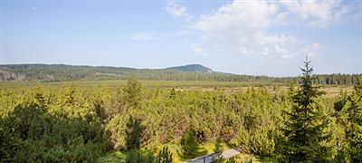
Wetland in a mountain saddle between Kvilda and Horská Kvilda, observation tower with a beautiful view
At the foot of Černá hora, just under seven kilometers south of Kvilda, lies the symbolic source of the longest Czech river – the Vltava.
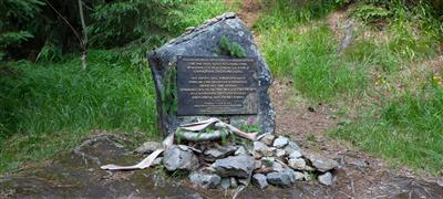
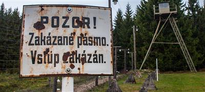
A monument on the escape route near Kvilda, dedicated to Czechs and Germans who, after 1948, helped freedom-minded citizens escape to the West.
A vanished village in close proximity to the Czech-Bavarian border. Stunning panoramic views of the Bohemian Forest, the Bavarian Forest, and the Alps.
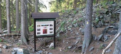
The vanished settlement of Fürstenhut at an elevation of 1024 m. Restored cemetery and church foundations, a functioning restaurant. A crossroads of hiking trails.

The vanished village of Zhůří near Rejštejn (German: Haidl) is located along the road from Rejštejn to Horská Kvilda.
Surroundings

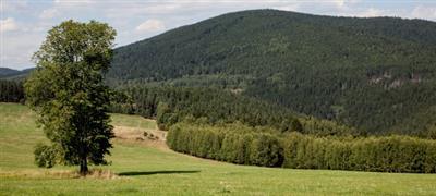
The main parts of the Šumava Mountains were proclaimed the National Park in 1991. Of the three national parks in the Czech Republic the Šumava National Park, (69,030ha), is the largest.
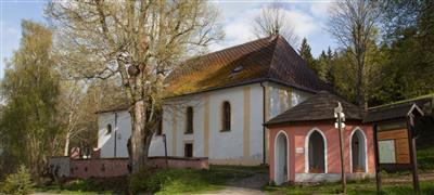
The Church of St. Mauricius near Annín, on the Mouřenec Hill, is 617m above sea level.
The Březník, at 1165m above sea level, is a hill over the Lusen Valley, 8km from the village of Modrava.
A beautiful view of the Bohemian inland can be seen from the top of a woody hill, 902m above sea level.
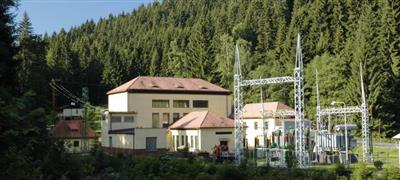
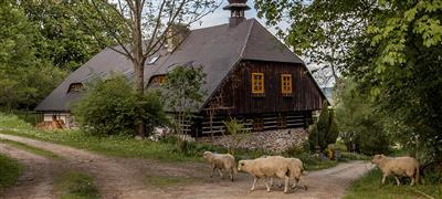
“Čeňkova Pila”, which means in English Čeněk’s Saw Mill, was built by a Prague tradesman, Čeňek Bubeníček.
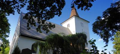
One of the oldest churches in Sumava on the hill above Otava near Annín. Rare wall paintings from the 14th century. Baroque ossuary.
The village of Dobrá Voda, which means in English “Good Water” is situated less than 3km from Hartmanice.
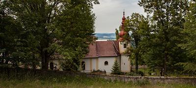
A place of pilgrimage with a well of supposedly healing water. Birthplace of Dr. Šimon Adler, museum. Church of St. Vintières.
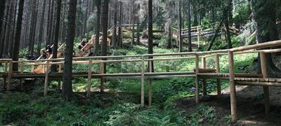
The Farmers’ Trail goes mostly through the area of the Kochánov National Park.

A long time ago five glacier lakes developed on the Czech side of the mountains, and another three lakes on the Bavarian side.
Defunct village near Prášil. Currently, only a monument to the victims of the 1st St. war. Beautiful views of the Křemelná river valley.
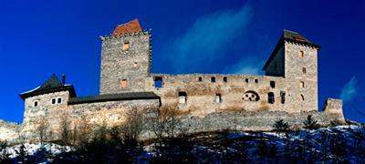
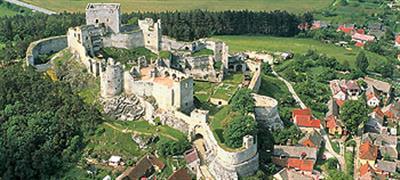
Charles IV had the Kašperk Castle built in 1356 to protect the gold mines in the area, the trade on the Golden Path and the border area.
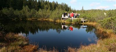
The moorlands are one of the features of nature in the Šumava Mountains. Only three of them are open to visitors.
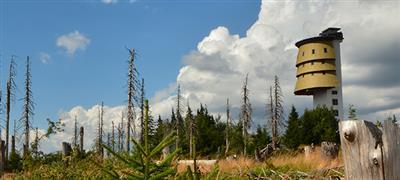
Situated 7km to the south of Prášily is the Polední Mountain, which means in English the Noon Mountain, at the top of which is the Poledník Observation Tower.
The Castle of Rabí is a dominant feature of the upper Otava region and is one of the biggest and largest medieval castles in Bohemia.
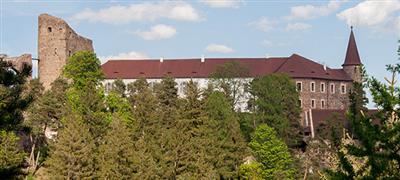
The castle was built at the beginning of 14th century and is situated over the village of Velhartice.